
It is one of the most widely used software in surveying and GIS sciences. This program has an easier application compared to other surveying and GIS software. This software was designed by Global Mapper company.
Important features of Global Mapper software include the following:
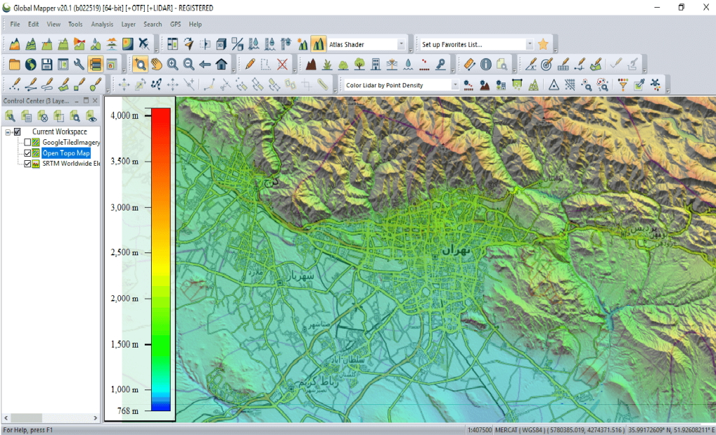
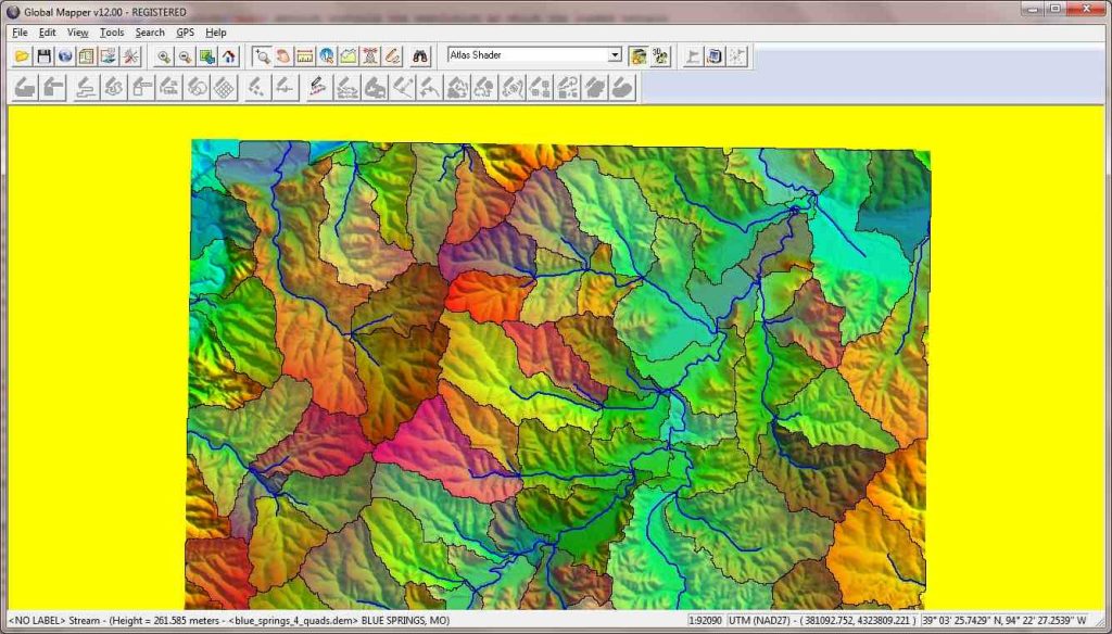
It is used as a software to display various raster and vector database types in different formats. It is possible to download data from GPS devices and, when using the online system, display the location of the GPS holder on the maps. This software can connect to and directly access free satellite data sources, including Landsat satellite data and SRTM topographic data. In addition to downloading them from the relevant websites, it allows editing and saving data in various software formats. It is possible to create 3D data and display them from different angles of the entire world regions.
To request a project contact us by number below:


