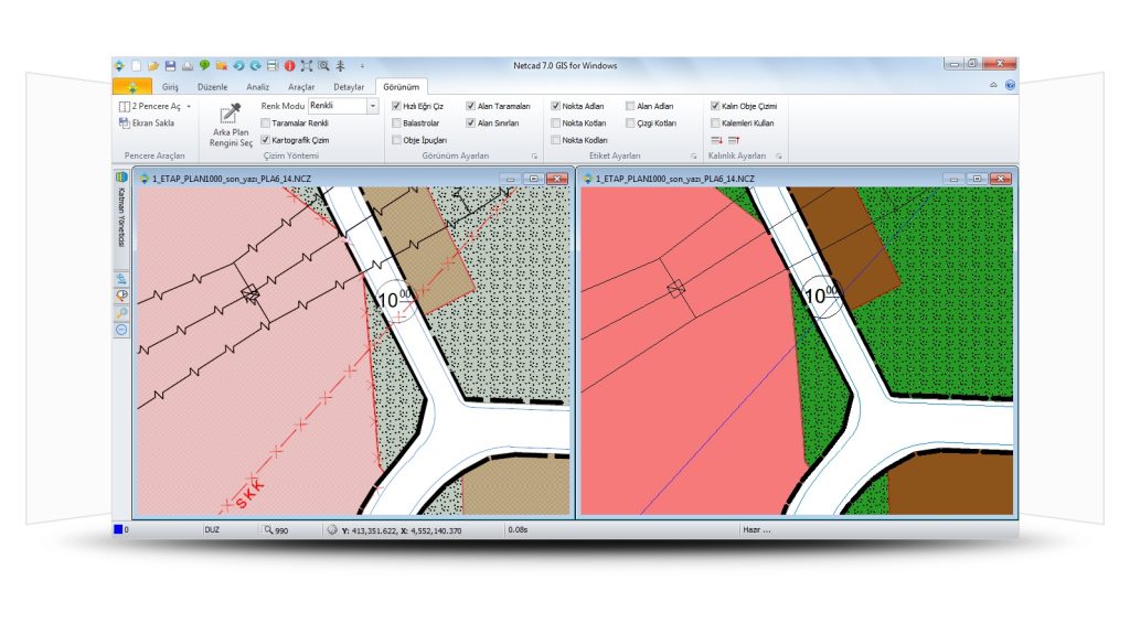
Netcad GIS is a surveying software that operates similarly to the NETCAD drafting software. You can create your maps using Netcad GIS, which is mainly used for drawing objects like water, electricity, and roads.
Netcad GIS is one of the best options for achieving the most effective results when coloring and studying maps, as it supports all modules and tools.

Designed with an integrated approach to CAD and GIS solutions, Netcad GIS meets the diverse needs of industries and users. It addresses requirements in many fields of engineering and planning, such as surveying, design, calculation, data conversion, reporting, and analysis, through comprehensive data format support.
NETCAD GIS is a geographic data source that supports a wide range of international standard geographic data sources. All modules designed to meet professional needs work with advanced data editing tools in Netcad GIS.
NETCAD GIS is a CAD and GIS software that supports international standards and is designed for users of engineering and geographic information systems. It provides users with the necessary power and flexibility while ensuring strong integration of CAD, GIS, and Raster through its unique architecture.
This software also features quick and easy search capabilities, allowing the user to access the desired tool by typing just a few letters. Additionally, users can speed up data production by using active links.
With the layer management system, all CAD, GIS, and other reference layers are still referred to as layers and can be multitasked or saved as a separate project. Furthermore, by selecting multiple layers, they can be sent to Google Earth with a single command.
