Leapfrog is one of the best programs for 3D modeling of geographical phenomena.
This software has a wide range of applications for professionals in fields such as drilling, oil and gas exploration, groundwater pollution investigation, and geothermal power generation.
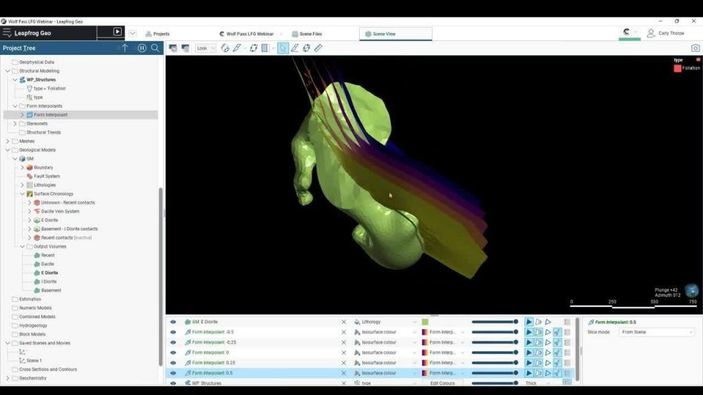
It offers a completely new approach to processing, visualizing, and interpreting data effectively.
The software allows you to easily import all your well and drilling data and then view a visual model of that data within the program.
Collecting and analyzing large volumes of data, especially in large geographical areas, requires significant time and technical accuracy.
Since the software presents all data as live 3D images, the time needed for data interpretation is much less than before.
When viewing the graphical model, the geographical details and well data are clearly displayed.
All of this data is processed by the program, so you can be assured of the accuracy of the program’s output.
This software allows you to run multiple projects simultaneously without worrying about the order of the collected data.
You can easily manage different data and projects within the software. With this tool, you don’t need to worry about data collection and tracking.
Leapfrog enables you to design complex graphical models with large data volumes.
This software can process millions of different data points and display the results in the form of 3D images.
Leapfrog Geo is a workflow-based 3D modeling tool. Its advanced modeling engine eliminates time-consuming “layout processes” and lets you create models directly from various sources, including wells, points, and surfaces.
As more information is added, the form dynamically updates, ensuring your final project is always up-to-date.
This reduces the risk of making poor decisions and ensures you always make the best choices. Moreover, the software offers additional features such as numerical simulation and data visualization for engineers.
The software allows for the interpretation and visualization of millions of data points using a powerful graphical engine.
It enables you to run multiple projects simultaneously and add geographical information seamlessly throughout the project sequence.
You can create, import, and edit different block templates and eventually output all data in various industry-standard formats.
Data input in this application is based purely on 3D models and graphical displays, meaning the data is processed quickly, and preparing it for visualization takes very little time.
The design capabilities of this software are unique, from precise corner and edge designs to the ability to create patterns like human veins with uniform rotations and design larger patterns with both regular and irregular surfaces.
The modeling functions of the program include the study of anisotropic properties of materials.
Other applications of the software include volumetric extrapolation outputs, ISO plane (3D contour level), and composite materials. In addition to its graphical capabilities, the software has high computational power for simulations and numerical calculations.