GMS Premium (Groundwater Modeling System) is a product from Aquaveo, a software with a fully understandable graphical user interface that provides extensive capabilities for 3D groundwater modeling and simulation.
3D models created with this software simulate real groundwater systems, allowing users to analyze, control, and quantify the behavior and responses of hydrodynamic systems. Aquaveo GMS, short for Aquaveo Groundwater Modeling System, is a powerful groundwater modeling and simulation software from Aquaveo.
This software includes a wide range of modeling tools, including geometric modeling, mapping, data management, and visualization of water structures. It also supports numerous digital water flow models including MODFLOW, MODFLOW-LGR, MODFLOW-USG, MODPATH, MT3DMS, RT3D, SEAWAT, and PHT3D.
Additionally, it supports online mapping, PEST, parallel PEST, and others.
This software models groundwater aquifers in 3D and specifies various parameters for accurate simulation.
Aquaveo’s Groundwater Modeling System, like other products from the company, adopts a conceptual and flexible design approach.
Especially in the simulation section, data processing speed is very satisfactory, and delays are minimized to the lowest possible.
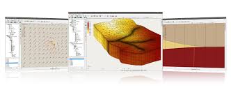
GMS Premium – Groundwater Modeling System (GMS)
Key Features of Aquaveo GMS Premium:

Features and Functions of Aquaveo GMS: