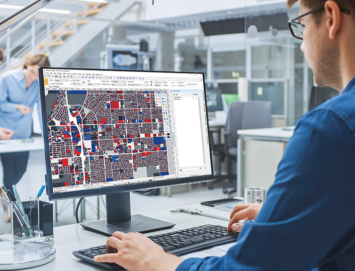
Canvas X Geo is a versatile software designed to help technical engineers, specialists, small business owners, and graphic designers better communicate and visualize data. It offers powerful tools for creating and presenting graphical documents with a focus on geographic data, making it ideal for professionals involved in GIS, mapping, and design.
Key Features of Canvas X Geo:

Canvas X Geo stands out for its smooth interface, high speed, and the ability to manage large projects effectively, even on large screens, making it a solid choice for professionals needing to work with geographic and technical data.