Leica HxMap

HxMap is a powerful, multi-sensor software platform designed for post-flight processing of geographic data. It offers a wide range of tools for radiometric and geometric corrections, image generation, scalable product creation, and flight data quality monitoring. It is compatible with a variety of Hexadimensional sensors and integrates seamlessly with third-party GIS applications.


Leica HxMap
Leica HxMap

Key Features of Leica HxMap:

Efficient Data Processing:

  • HxMap streamlines the post-flight data processing workflow, making it quick, understandable, and efficient. This platform reduces the time and costs associated with processing geographic data.

Integration with Multiple Sensors:

  • The software is designed to work with a wide range of Hexadimensional sensors, enabling users to process data from various sensor types seamlessly.

Unified Workflow:

  • It provides a unified interface, allowing users to create and manage geographic products through a single platform. The workflow is structured based on task-oriented views in the main window, offering a clear and logical sequence of steps for post-processing.

Radiometric and Geometric Corrections:

  • HxMap offers tools to perform essential corrections, ensuring that the processed data is accurate and reliable for further analysis.

3D Modeling Capabilities:

  • The software supports the creation of 3D models of cities and regions, making it a valuable tool for urban planning, environmental monitoring, and infrastructure development.

Scalable Product Generation:

  • It allows the generation of scalable geographic products from the processed image data, which can be tailored to meet the specific needs of the user.

Flexibility:

  • HxMap is highly flexible, allowing users to customize the platform according to their processing needs. Whether it’s creating a specific model or processing unique data, the software adapts to the user’s requirements.
See also  Formware 3D Slicer

Time and Cost Efficiency:

  • By integrating various data sources and providing an automated workflow, HxMap helps reduce the time and resources needed for post-flight processing, making it a cost-effective solution for geospatial data analysis.

Geospatial Data Products:

  • Users can create high-quality geospatial products, including orthophotos, point clouds, and 3D models, directly from aerial imagery and sensor data.

Aerial Triangulation:

  • The software can create accurate aerial triangulation models, which are essential for generating georeferenced products and ensuring the spatial accuracy of the final output.

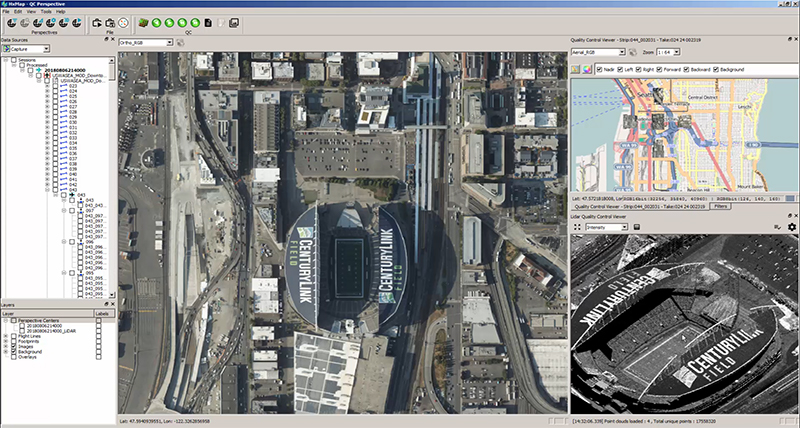
Comprehensive Data Quality Monitoring:

  • HxMap provides robust tools for monitoring the quality of flight data, ensuring that the final products meet the required standards of accuracy and reliability.


Applications of HxMap:

  • Aerial Surveying: HxMap is ideal for professionals conducting aerial surveys, providing tools for processing image data, performing corrections, and generating high-quality geospatial products.
  • Urban Planning and Development: The software’s ability to create 3D models of cities and regions is particularly useful in urban planning and infrastructure projects.
  • Environmental Monitoring: HxMap can be used to create detailed geographic products that aid in monitoring environmental changes, land use, and natural resource management.
  • GIS and Cartography: The software is an excellent choice for GIS professionals and cartographers who need to process aerial imagery and create accurate maps and models.

Benefits:

  • Speed and Efficiency: HxMap significantly speeds up the post-processing of flight data, reducing turnaround times and improving overall workflow efficiency.
  • High-Quality Output: The platform ensures that the final products meet high standards of accuracy and quality, making it reliable for various geospatial applications.
  • Flexibility: The software is customizable and adaptable to meet the specific needs of different users and projects, providing a tailored solution for geospatial data processing.
  • Cost Savings: By automating and streamlining the data processing workflow, HxMap helps save time and reduce operational costs, making it a cost-effective solution for large-scale geographic projects.
See also  We will do ChemMaths project

HxMap is an essential tool for professionals in the field of aerial surveying, GIS, urban planning, and environmental monitoring, offering advanced post-flight data processing capabilities and high-quality geographic product creation.