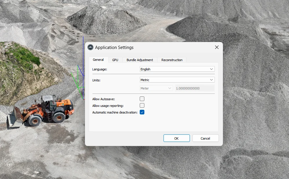
3Dsurvey is a powerful software program designed for processing geographic and mapping data, particularly for use with drone photography and digital cameras. It provides robust tools for surveyors, geospatial engineers, and anyone involved in 3D mapping and modeling.


3Dsurvey is especially popular for its efficiency and accuracy in processing 3D data, making it a top choice for professionals in the surveying, mapping, and construction industries.