3Dsurvey

3Dsurvey is a powerful software program designed for processing geographic and mapping data, particularly for use with drone photography and digital cameras. It provides robust tools for surveyors, geospatial engineers, and anyone involved in 3D mapping and modeling.
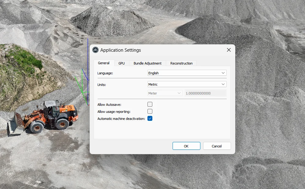
 

3Dsurvey
3Dsurvey


Key Features of 3Dsurvey:

  • Geospatial Data Processing: 3Dsurvey uses advanced algorithms for “matching” geographic data, allowing you to create accurate 3D models and digital elevation maps (DEMs) based on aerial images or point cloud data.
  • Support for Drone Photography: The software is optimized for processing images from various cameras, including digital SLRs, GoPro cameras, and drone-captured photos. This is ideal for anyone using UAVs (unmanned aerial vehicles) in mapping or surveying projects.
  • Automatic Data Processing: The program automatically processes input images and data to generate useful geographic models, making it more efficient and user-friendly.
  • Point Cloud and 3D Model Creation: 3Dsurvey can turn images into detailed 3D models, using point clouds to represent spatial data. This is useful for surveying, mapping, and engineering tasks that require high-accuracy models.
  • GIS Data Management: It integrates well with GIS (Geographic Information System) data, allowing users to manage spatial information and perform geospatial analysis using the software’s matching algorithms.
  • Compatibility with Aerial Files: The program supports aerial point cloud data, making it compatible with common file types like orthophotos and point clouds, which can be easily converted into geographic maps.

Use Cases for 3Dsurvey:

  • Surveying and Mapping: Professionals in geospatial industries can use 3Dsurvey to process drone imagery and create high-resolution 3D maps for topographic analysis, land surveying, and construction projects.
  • Engineering and Design: It’s valuable for engineers working on design and development projects that require accurate, high-fidelity geographical data, including for road, bridge, or landscape design.
  • Construction and Architecture: 3Dsurvey helps in the planning and development stages by generating digital terrain models (DTM), which are vital for construction projects.
  • Agriculture and Environmental Studies: By providing high-precision data, 3Dsurvey is used in agriculture for precision farming and environmental monitoring, helping to track changes in land features.

New Features in 3Dsurvey:

  • Geological Survey and Mapping: The program is capable of processing geological survey data, especially in relation to 3D models and topographic maps.
  • Stereo Mapping: It includes tools for stereo image mapping from drone-captured photographs, improving the depth and accuracy of the models.
  • Point Cloud Management: It allows for the creation and management of point clouds, turning raw data into actionable geographic information.
  • Flyfoto to Geographic Map Conversion: The software has capabilities for converting drone photos (flygfoton) into geographic maps, making it easier to integrate aerial imagery into mapping projects.
  • Efficient GIS Data Management: The software employs smart algorithms for managing GIS data, ensuring streamlined workflows and high productivity.


3Dsurvey

3Dsurvey is especially popular for its efficiency and accuracy in processing 3D data, making it a top choice for professionals in the surveying, mapping, and construction industries.