Merrick’s Advanced Remote Sensing

Merrick’s Advanced Remote Sensing

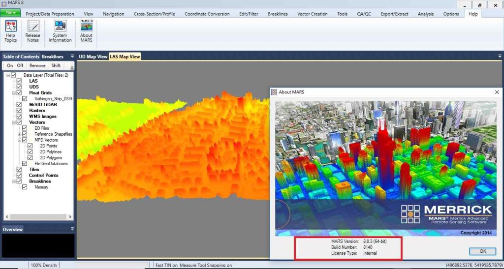
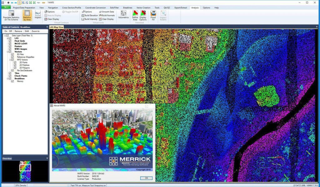
Merrick’s Advanced Remote Sensing (MARS) is a comprehensive software developed by Merrick to support access to aerial data. Merrick MARS is a powerful Windows-based software used for the visualization, management, processing, and analysis of LiDAR point cloud data. One of the notable features of this program is its efficiency and accessibility for both new users and professional data producers.

Merrick’s Advanced Remote Sensing

Features of Merrick MARS Software:

  • Exceptional performance and stability
  • Unlimited data loading capacity for airborne, terrestrial, and mobile LiDAR datasets
  • Support for GIS vectors, LiDAR, and imagery
  • Batch production of digital surface models and contour elevation maps
  • Automatic LiDAR quality control module
  • Multithreaded data processing
  • 31 algorithms for LiDAR data sorting and 20 output data formats
Merrick’s Advanced Remote Sensing