Geography
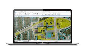
Leica HxMap
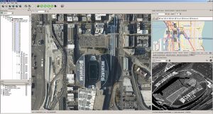
Leica HxMap HxMap is a powerful, multi-sensor software platform designed for post-flight processing of geographic data. It offers a wide range of tools for radiometric
Leica HxMap HxMap is a powerful, multi-sensor software platform designed for post-flight processing of geographic data. It offers a wide range of tools for radiometric
Geographic Calculator Geographic Calculator is a reliable and comprehensive tool for converting and transferring geographic coordinates, as well as addressing geospatial/cartographic and geomatics issues. It
Carlson SurveyGNSS Carlson SurveyGNSS is a post-processing software specifically designed for analyzing Global Navigation Satellite System (GNSS) data, developed by Carlson Software. It enables users

3Dsurvey 3Dsurvey is a powerful software program designed for processing geographic and mapping data, particularly for use with drone photography and digital cameras. It provides
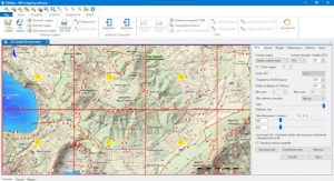
OkMap OkMap is a powerful software for mapping, analyzing, and visualizing GPS data. It’s especially useful for professionals who need to plan, track, and manage

ExpertGPS ExpertGPS is a powerful application designed to assist with planning outdoor adventures and managing GPS data. It helps users mark destinations on USGS topographic
Canvas X Geo Canvas X Geo is a versatile software designed to help technical engineers, specialists, small business owners, and graphic designers better communicate and

MicroSurvey STAR*NET MicroSurvey STAR*NET is a specialized software designed for least squares calculations, a regression analysis method for solving systems of equations where the number
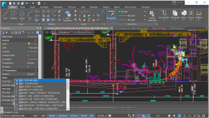
nanoCAD nanoCAD is a universal CAD program designed for creating working documents in all areas of design, offering a user-friendly interface and a powerful toolset

Leica Infinity Leica Infinity is a powerful geographic data management software. It provides an intuitive and easy-to-understand user interface for managing, processing, analyzing, and monitoring
OpenCities Map OpenCities Map Advanced extends the capabilities of MicroStation to provide a similar user experience to that of Computer-Aided Geographic Mapping (CAD), enabling the

Netcad GIS Netcad GIS is a surveying software that operates similarly to the NETCAD drafting software. You can create your maps using Netcad GIS, which
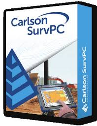
Carlson SurvPC Carlson SurvPC (for Windows) or SurvCE (for Windows Mobile) is a comprehensive data collection program for relative positioning or RTK (Real-Time Kinematic) methods
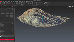
HxGN MinePlan MinePlan is a powerful mining planning software. HxGN MinePlan includes numerous features and tools for planning, designing, and managing both underground and surface

Altair EDEM EDEM is one of the leading software programs for simulating bulk materials (such as coal, soil, sand, gravel, etc.). EDEM software, using discrete

Deswik Deswik Suite – Comprehensive Mining Design & Management Software Deswik Suite is a specialized mining software package developed by Deswik, designed for mine design,

SHOTPlus SHOTPlus – Advanced Blast Design & Modeling Software SHOTPlus is a blast design and modeling software developed by Orica, one of the world’s leading

STARNET Ultimate STAR*NET, a product of MicroSurvey, is a specialized graphical program for least squares computation. The least squares method is a regression analysis method
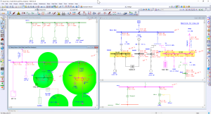
Everything about eTab software ETAP (Electrical Transient Analyzer Program) is one of the most advanced software platforms for electrical engineering, specifically designed for the analysis

☀️ Everything about the Plaxis software Plaxis: A Powerful Geotechnical Engineering Simulation Software Plaxis is one of the most widely used and powerful software tools

PROKON project PROKON is a structural analysis and design software that supports the design and detailing of over 40 different types of structures. The first